Trail Walking La Trinité-sur-Mer - PR_56_La-Trinite-Sur-Mer_CA_03_Circuit4b_Sentier-Douanier-Et-Marais-Salants_20221217 - Photo

PR_56_La-Trinite-Sur-Mer_CA_03_Circuit4b_Sentier-Douanier-Et-Marais-Salants_20221217

© OpenStreetMap contributors
Length
Length
11.4 km
Max alt
Max alt
22 m
Uphill gradient
Uphill gradient
115 m
Km-Effort
Km-Effort  
13 km
Min alt
Min alt
-2 m
Downhill gradient
Downhill gradient
115 m
Boucle
Boucle
Yes
Creation date :
2022-12-17 13:33:02.26
Updated on :
2023-09-04 15:25:28.501

(0 Reviews)

Walking
Walking
2h16
Difficulty : Difficult

Scan this QR Code to open this trail in the SityTrail application

FREE GPS app for hiking

Logo SityTrail SityTrail

IGN / Geographical institutes

Download SityTrail from the App Store Download SityTrail from Google Play

Logo SityTrail SityTrail Plus

The world is yours!

Download SityTrail from the App Store Download SityTrail from Google Play Download SityTrail on Huawei AppGallery

About

Trail Walking of 11.4 km to be discovered at Brittany, Morbihan, La Trinité-sur-Mer. This trail is proposed by patrickdanilo.

Description

Randonnée Marche de 11,2 km à découvrir à Bretagne, Morbihan, La Trinité-sur-Mer. Cette randonnée est proposée par patrickdanilo.
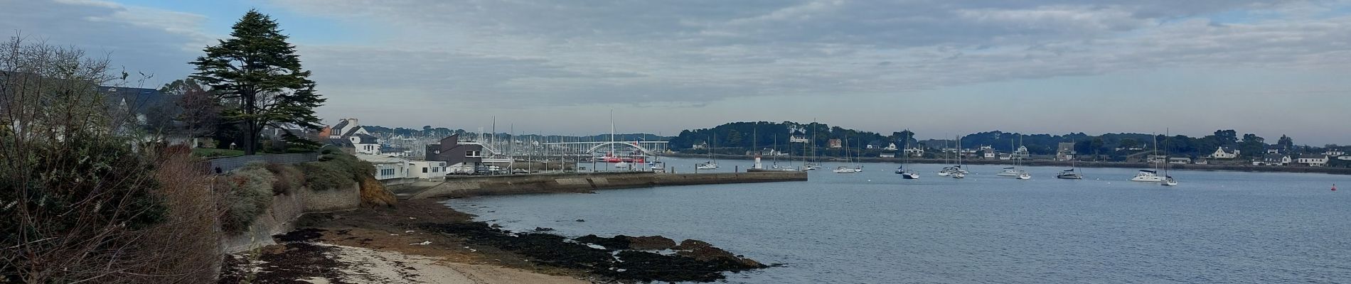
Elevation profile

Photos

22 photos in total. Please click on a photo to see them all in the gallery.

Positioning

Country:
France
Region :
Brittany
Department/Province :
Morbihan
Municipality :
La Trinité-sur-Mer
Location:
Unknown
Start:(UTM)
497974 ; 5270047 (30T) N.


Close
My subscriptions